Recreation & tourism

Wolf Maps

Put your destination literally on the map. Let visitors discover, experience, and return with a digital map that brings your unique destination to life.

Create the online guide that is accessible to everyone

Visitors searching for an outing, a weekend getaway, or an event shouldn't miss you, right? You do everything you can to make your destination appealing. This is where people want to be—and where they want to return. Discovering, having adventures, and creating memories.

However, maintaining a connection with (new) visitors remains a challenge. Your destination deserves the spotlight, which is why we need to talk about the interactive recreation map, the online guide for everyone.

Digitalization has dramatically changed the way we travel. Google Maps is a well-known, widely used map, yet we still see entrepreneurs and municipalities struggling with the visibility of their gems, whether that’s a park, municipality, or event.

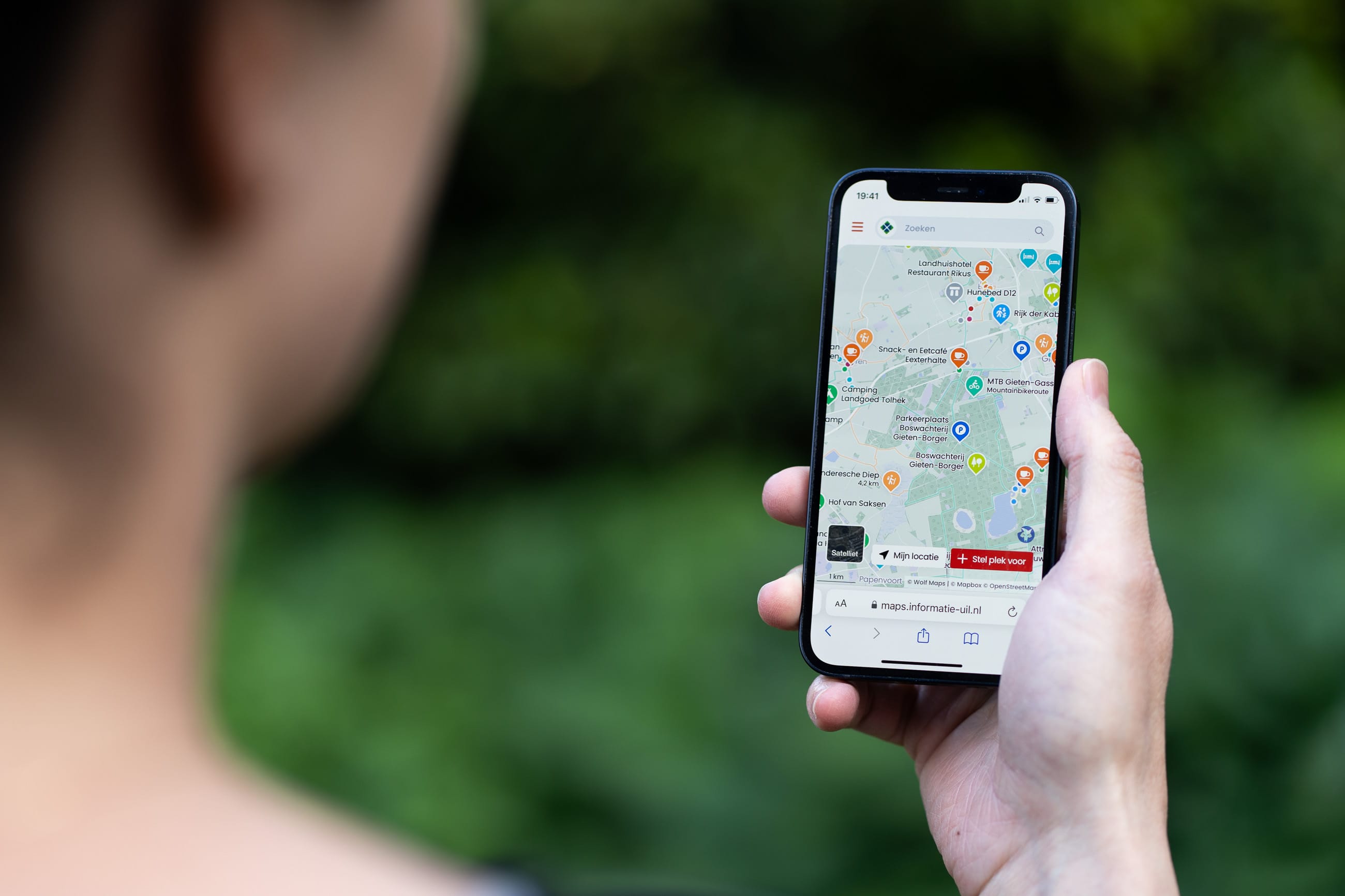
Is a new online platform or app the solution? No, because with too many expensive apps for each destination, we miss our target. Visitors want a curated selection tailored to their needs. That’s why we created an interactive map with Wolf Maps that rivals Google Maps and brings your destination to life.

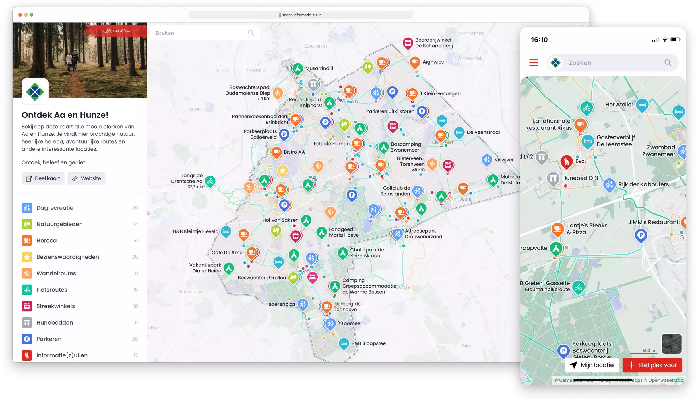
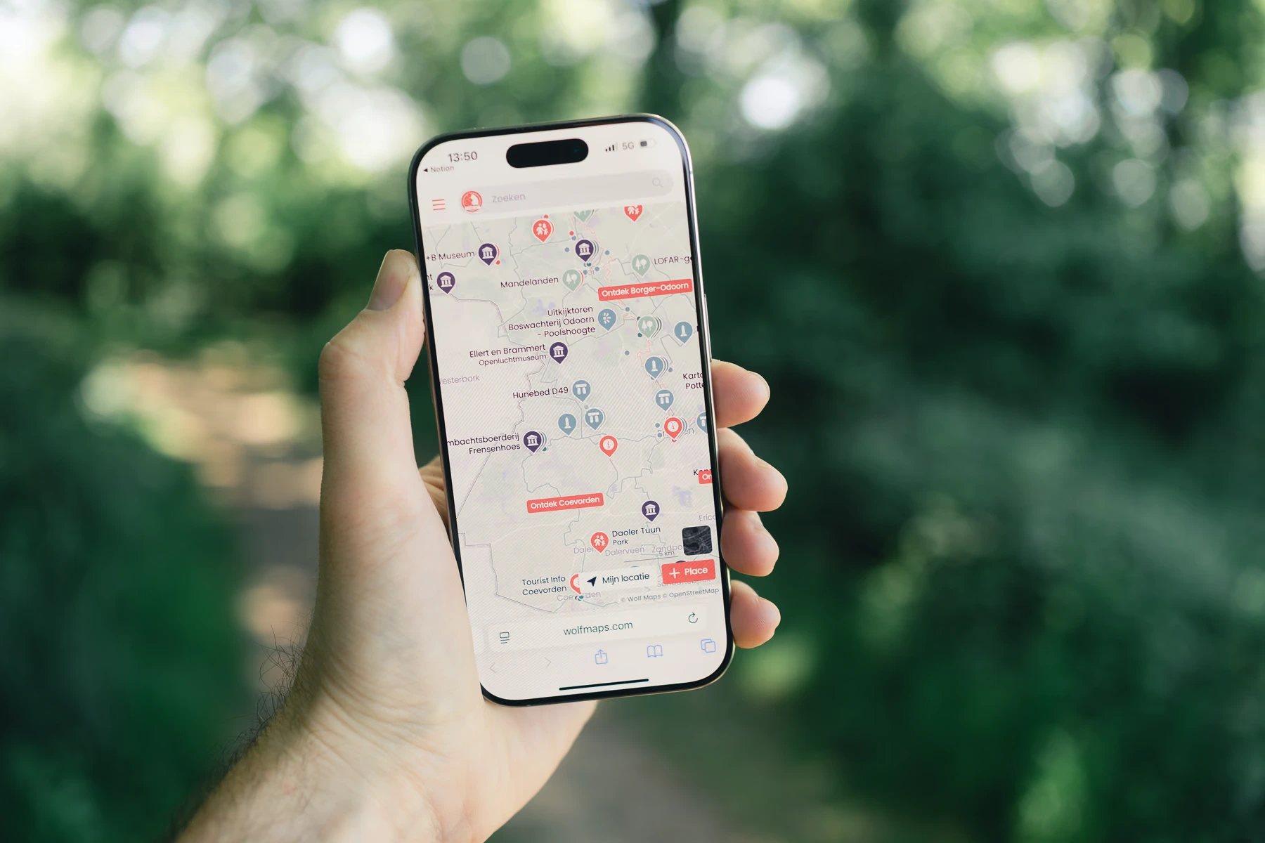
Screenshot Wolf Maps

They are already creating beautiful maps

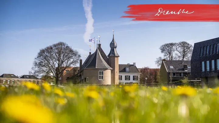
Welkom in Coevorden

Welkom in Coevorden

Met pittoreske dorpen en de prachtige natuur proef je in Coevorden nog de authentieke sfeer van Drenthe. De stad van strijd biedt cultuur, reuring en sporen van een rijk verleden. Ontdek het zelf! Wil je fietsen of wandelen? Kijk dan op routekaart.welkomincoevorden.nl.

View map

Valerie, Aa en Hunze

Play video
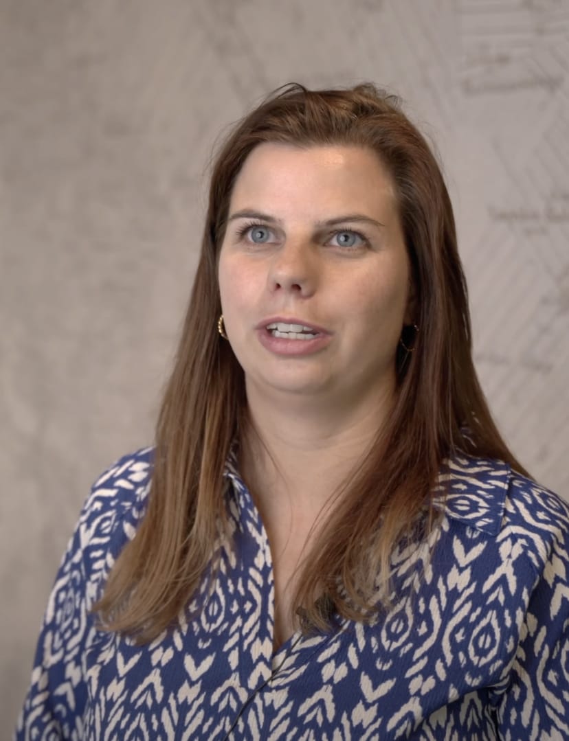
Karin Wolfs
Karin Wolfs Marketing Drenthe

"Wolf Maps not only provides a high-quality interactive map but also pays attention to the goals you want to achieve with the map as a customer. They are open and think along with adjustments that enhance the user-friendliness and user experience of your specific target audience(s)."

Welkom in Schiedam

Welkom in Schiedam

Verken S’DAM vanaf de kade of het water. Shop bij exclusieve Schiedamse ondernemers & innovatieve makers. Loop langs de indrukwekkende REUZEN, de hoogste molens van de wereld in de historische binnenstad of plan een bezoek aan 1 van de indrukwekkende musea.

View map

Logo Tynaarlo Logo Aa en Hunze Logo Emmen Logo Assen Logo Amsterdam en Partners Logo Marketing Drenthe Logo Schiedam en Partners Logo Noordenveld

A unique connection with visitors

Accessible to Everyone

Truly everyone. Even non-tech-savvy individuals find the map user-friendly. We believe this is a must.

Sustainability First

We prefer everyone to walk among the trees rather than having them cut down. That’s why our maps are fully online. An ideal replacement for your paper (route) maps.

Better Online Visibility and Increased Visitor Numbers

It’s a shame that so many beautiful places are still hard to find. Yes, even after a round of Googling. Wolf Maps makes unique offerings visible and at the same time improves online visibility. Before, during, and after the visit.

Visually Stimulating and Curiosity-Invoking

There’s no arguing about taste. Our map features a fresh design and stimulating elements. There’s also room for your own text, video, and audio clips. This turns something as simple as an interactive map into a visually appealing tool for greater customer engagement.

You Stay in Control

You can effortlessly make changes to your Wolf Maps on your own. Without assistance from us or an IT person. This not only saves you money on updates and maintenance, but also allows you to maintain full control over your own map. Our interactive map is already there; it’s just up to you to fill it in, adjust it, and maintain it according to your preferences.

Engagement with Visitors

Wolf Maps connects people, activities, and businesses. At a glance. Did you know that visitors can also easily and quickly make suggestions for your map? Groener Groningen demonstrates how effective crowdsourcing can be.

Online Usability Everywhere

Creating your first map today? You can share it online immediately everywhere. Embed it on your own website, share it with QR codes through various channels and means, via social media, and also stand-alone on your own (sub)domain. One map, usable across all your communication channels. Super efficient!

Stimulating the Local Economy

Wolf Maps stimulates the local economy by making entrepreneurs visible and visually connecting visitors with valuable places in the region.

Limitless possibilities

Wolf Maps uses powerful online tools to create strong and user-friendly maps. Your own unique map that you can customize at any time, without high maintenance costs. These are the possibilities.

Ontdekken als kaartmaker met een interactieve kaart
Custom branding on your interactive map

Custom Style and Branding

Give your map a personal touch with your own images, logo, and colors. This makes the map perfectly match your style and brand identity.

Interactive map with routes

Routes That Bring Adventure

Add routes to your map—whether it’s a marathon or a hiking trail. Visitors can start the route from their location and follow every turn and kilometer. The perfect start for the next adventure.

Organize your map with categories

Organize with Categories

Make your map more manageable with categories. Colors and symbols help visitors quickly find what they’re looking for, whether it's ancient structures, hiking routes, or ongoing projects—categories offer an intuitive way to filter and focus.

Link with Plaece

Integrations & Sources

Integrate Wolf Maps with other sources and databases to quickly populate your map and keep it automatically updated. For instance, link with your own database like Plaece (ODP) to create an up-to-date map that remains aligned with your data.

Automatic QR codes for your places and map

QR Codes

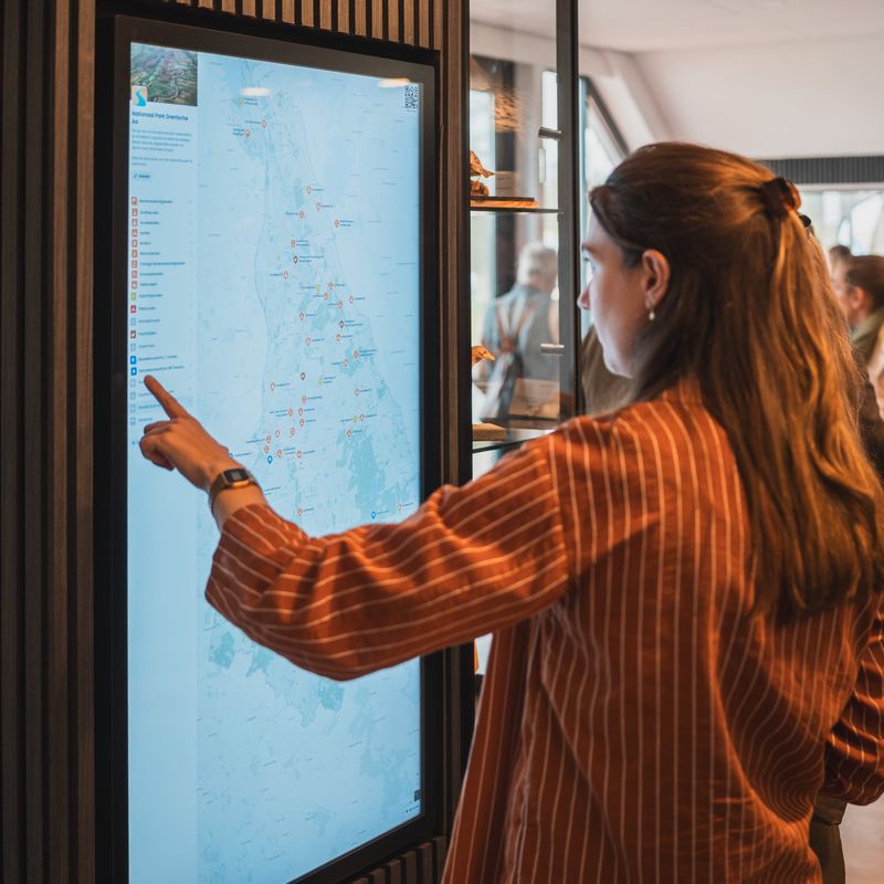
Make your interactive map and locations easily accessible offline with our handy QR codes. Place them on info boards, stickers, guides, or kiosks so visitors can scan the map and explore anytime, anywhere.

Outline your area

Focus with an Outline

Want to give your map more focus? Place an outline around your areas. Perfect for clearly defined locations like a city or national park. It shows exactly which area you're dealing with and brings more focus to your map.

Analytics

Analytics

Link your map with privacy-friendly analytics for detailed insights. View metrics like how many people use your map, how often your QR code is scanned, and discover which locations draw the most attention.

Audio clips

Audio Clips

Add audio to give your map extra depth. For those who prefer listening over reading, these sounds bring the location to life. Perfect for experience routes, podwalks, and anyone wanting to hear a story rather than read it.

Put your world on the map