Nature Parks

Wolf Maps

For thousands of years, maps have shown us the way. Now it's time for an interactive map that lets you experience nature and learn about its wonders. Discover, understand and protect our precious ecosystem.

Create the online guide that is accessible to everyone

All life is interconnected and together we are part of the complex ecosystem of our beautiful world. Perhaps this is sometimes forgotten when we visit the nearest nature park or forest area using our cars, smartphones, and footprints. We almost always assume that nature is a constant factor, always there, changing with the rhythm of the seasons, but never disappearing forever.

Deep down, we know that we must all continue to do our best to sustain nature conservation, sustainability, and the protection of all animals and plants. Well, our interactive map can lend a hand! Natureproof, with a focus on an ultimate experience for everyone. So that the screen of a mobile phone is not a burden, but rather a useful addition for a great time in nature.

A single paperless map. For routes, key spots where visitors are allowed (or not allowed) to go, visitor centers, and other interesting locations and activities.

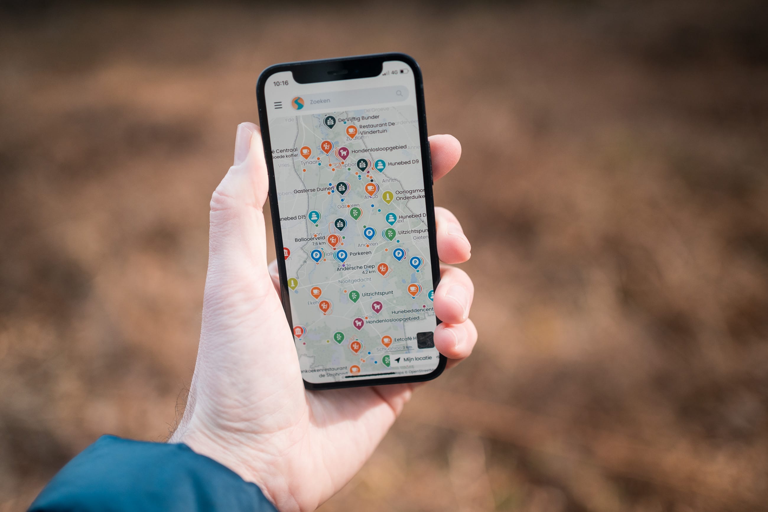
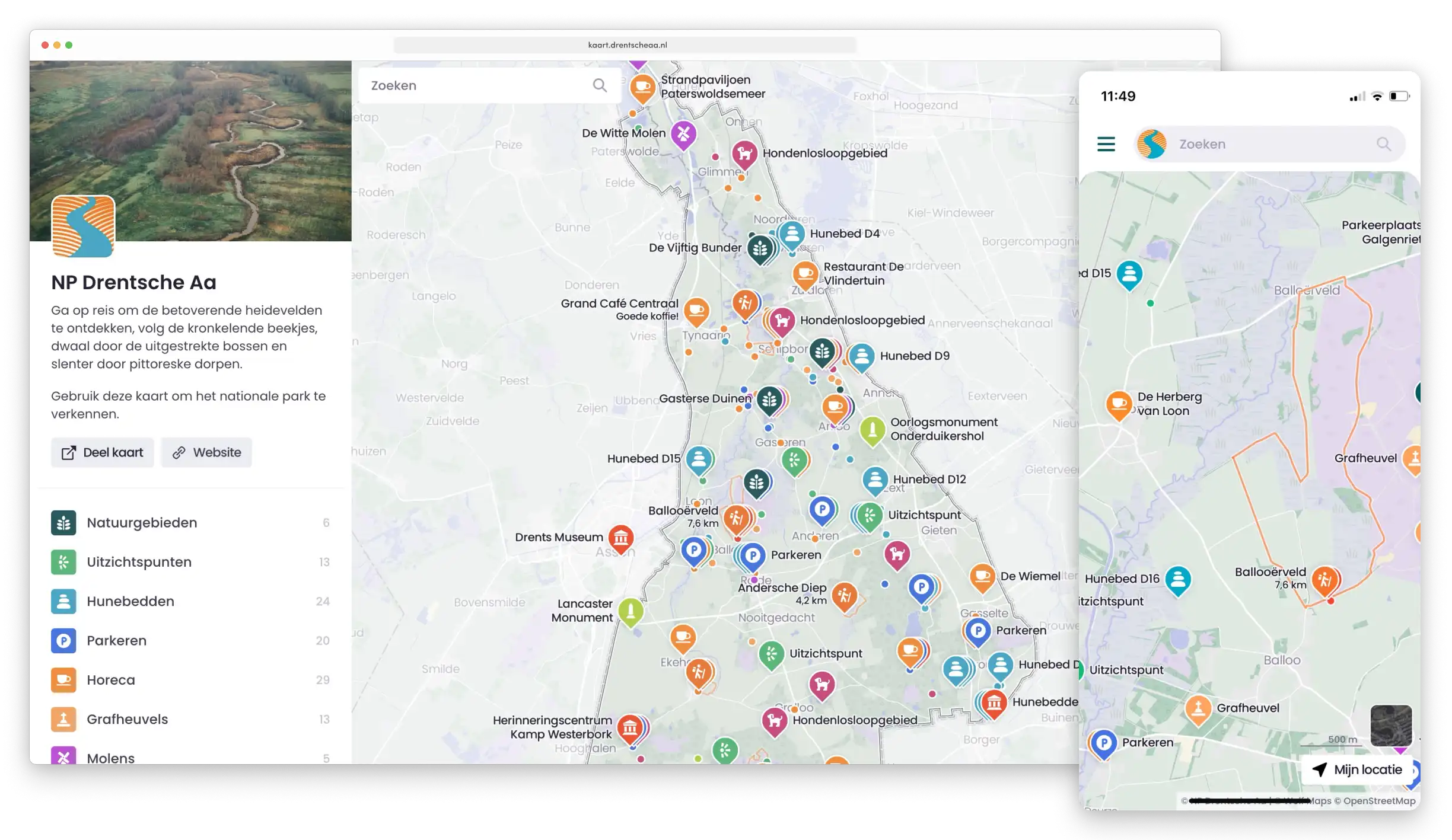
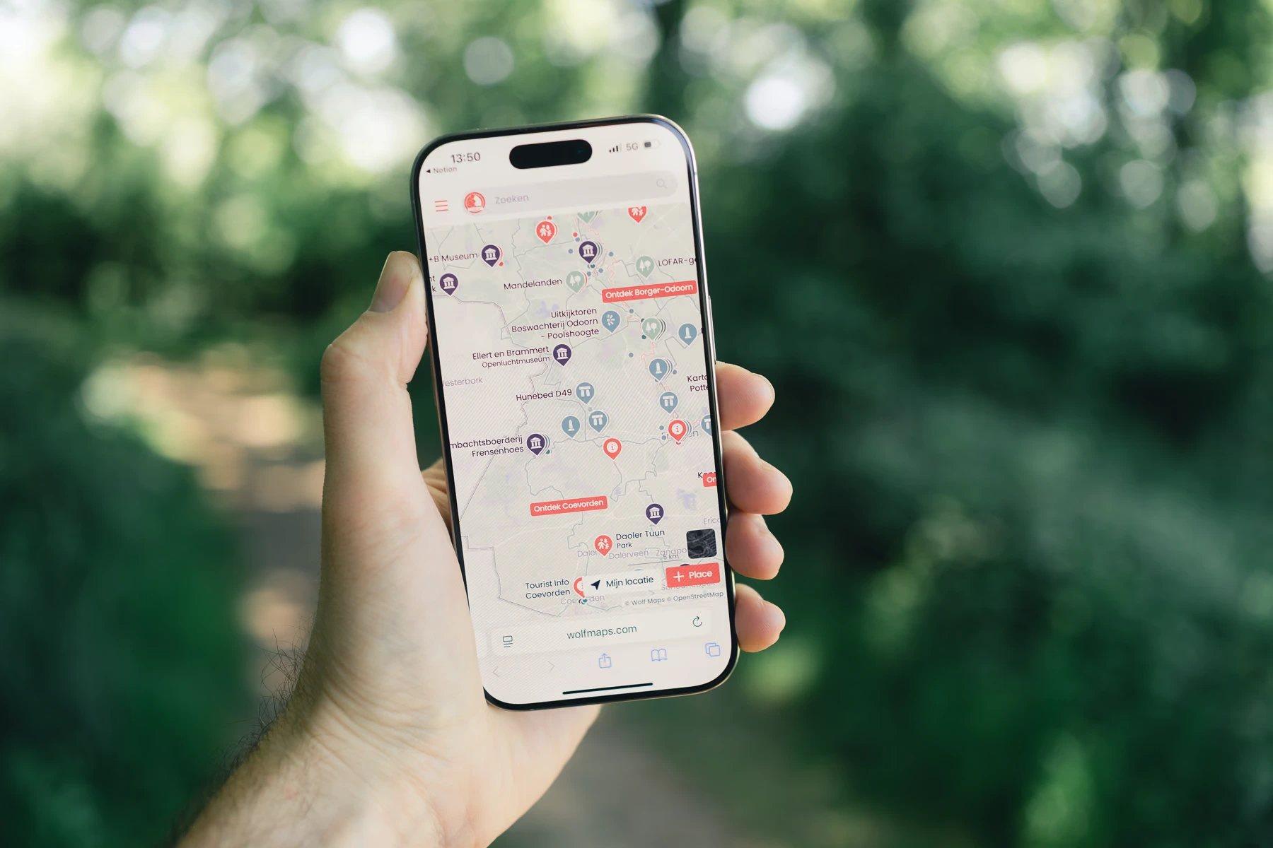
Screenshot Wolf Maps

Bridge between digital and outdoor

Everyone loves working with Wolf Maps

Really everyone. Even non-tech-savvy people find the map user-friendly. A must, in our opinion.

Findable for visitors all year round

While paper (route) maps, information booklets, and flyers end up in the trash, your interactive map is available for visitors throughout the year. More views all year long, and that also benefits your website’s discoverability. Did you know that Wolf Maps is found by Google because we work with a web app?

No hassle with paper

Our maps are completely online. An ideal replacement for your paper maps, programs, or information booklets.

A next level experience for young and old

Recreation is an important aspect of nature parks. Where can visitors find more information? Introduce both young and old to immersive routes, the latest exhibition at the visitor center, and the best spots for spotting wildlife. Everything is conveniently available in one interactive map.

Visually stimulating

Your interactive map is completely unique, often recognizable for visitors. Our map features a fresh design and striking elements. You can fully customize your map in your own style for even better recognition.

Take control yourself

You can easily make changes to your Wolf Maps on your own, without help from us or an IT person. This not only saves you money on updates and maintenance, but also ensures you have full control over your map. Our interactive map is already there. It’s just up to you to fill it in, adapt it, and maintain it.

An ultimate nature experience

Wolf Maps uses powerful online tools to create strong and user-friendly maps. Your own unique map that you can adjust at any moment without high maintenance costs. What can you expect from Wolf Maps?

Ontdekken als kaartmaker met een interactieve kaart
Custom branding on your interactive map

Custom Style and Branding

Give your map a personal touch with your own images, logo, and colors. This makes the map perfectly match your style and brand identity.

Interactive map with routes

Routes That Bring Adventure

Add routes to your map, whether it’s a marathon or a hiking trail. Visitors can start the route from their location and follow every turn and kilometer. The perfect start for the next adventure.

Organize your map with categories

Organize with Categories

Make your map more manageable with categories. Colors and symbols help visitors quickly find what they’re looking for, whether it's ancient structures, hiking routes, or ongoing projects. Categories offer an intuitive way to filter and focus.

Automatic QR codes for your places and map

QR Codes

Make your interactive map and locations easily accessible offline with our handy QR codes. Place them on info boards, stickers, guides, or kiosks so visitors can scan the map and explore anytime, anywhere.

Take it with you on your phone

Take It with You on Your Phone

Let visitors scan the QR code to take the map directly onto their phone to explore the area. Whether you're on a laptop or interacting with touch tables and presentations. Scan the code, and the map is within reach, wherever you are.

Outline your area

Focus with an Outline

Want to give your map more focus? Place an outline around your areas. Perfect for clearly defined locations like a city or national park. It shows exactly which area you're dealing with and brings more focus to your map.

Analytics

Analytics

Link your map with privacy-friendly analytics for detailed insights. View metrics like how many people use your map, how often your QR code is scanned, and discover which locations draw the most attention.

Audio clips

Audio Clips

Add audio to give your map extra depth. For those who prefer listening over reading, these sounds bring the location to life. Perfect for experience routes, podwalks, and anyone wanting to hear a story rather than read it.

Embed your interactive map

Embedding

Easily place your interactive map on your website or blog by embedding. Want even more flexibility? Select specific areas to embed or fully integrate the map into your site for a seamless experience.

Follow our discoveries

Hiking and cycling nodes on the map

Hiking and cycling nodes on the map

Read blog
This Was Our Very First Wolf Maps Event

This Was Our Very First Wolf Maps Event

Read blog

Backstage Newsletter

Would you like to stay updated on how Wolf Maps is developing? Sign up for our backstage newsletter.

Put your world on the map