-
Product
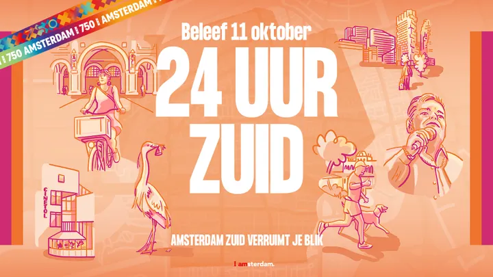
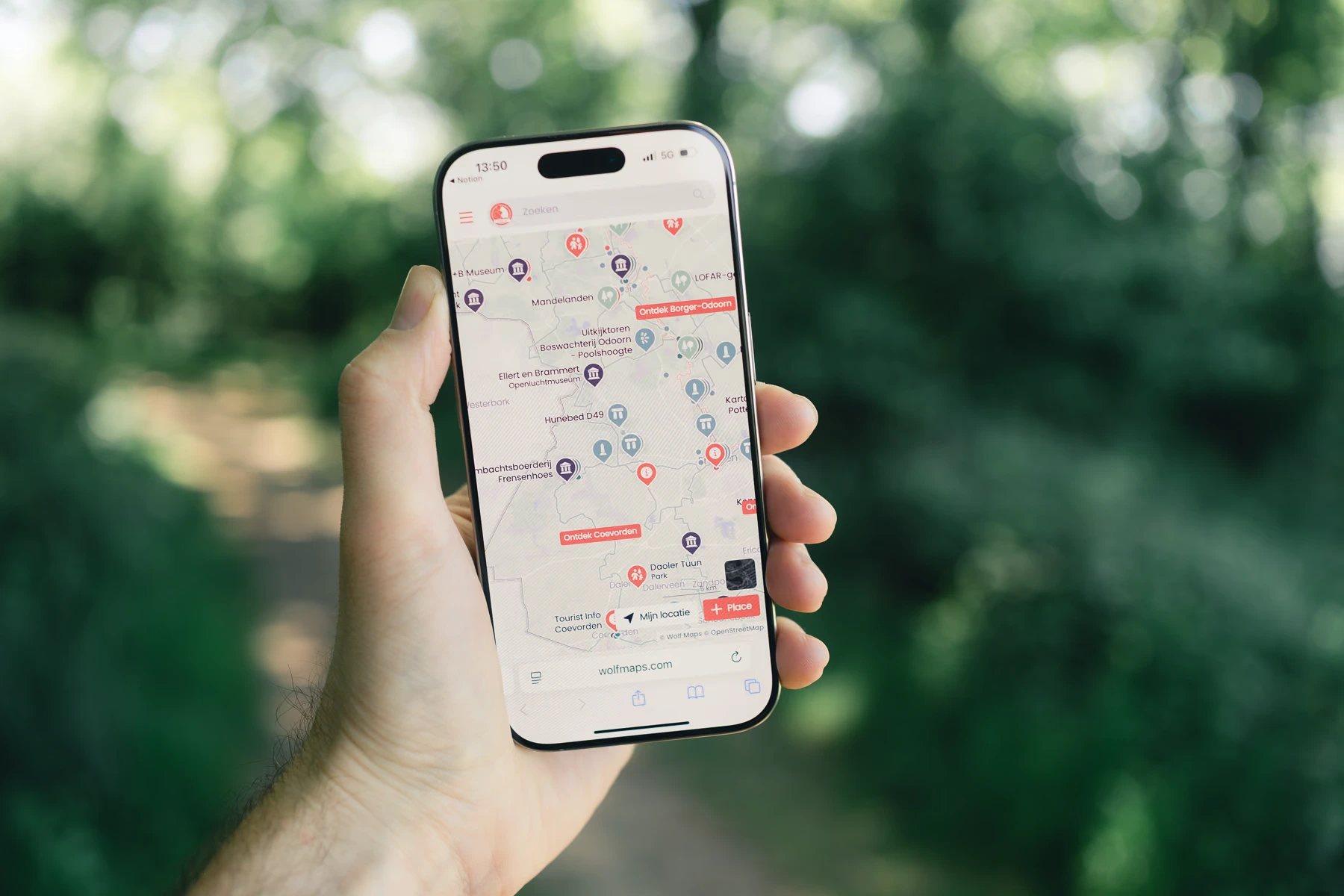
City Marketing
Put your city on the map. Create a digital guide that works for both visitors and residents.
Recreation & tourismPut your destination on the map, literally. Create an online guide that is accessible to everyone.
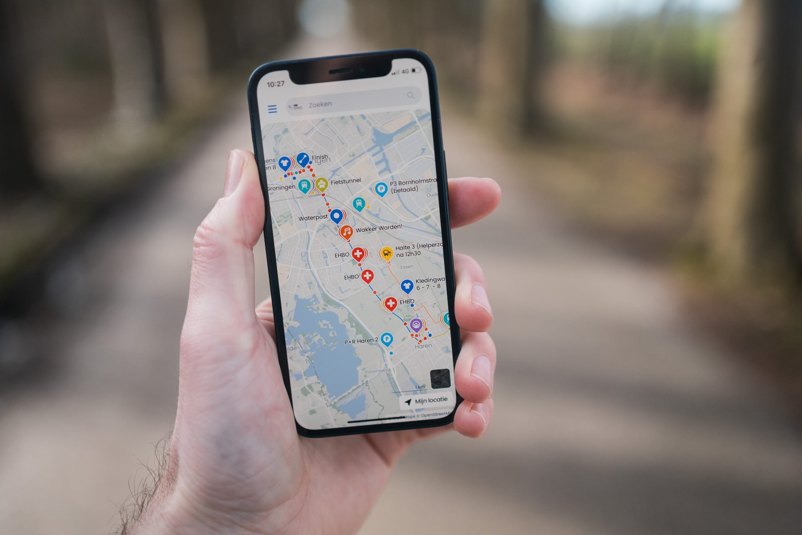
Routes & PodwalksRoutes to guide your visitors and give them freedom. You create and share them with Wolf Maps.
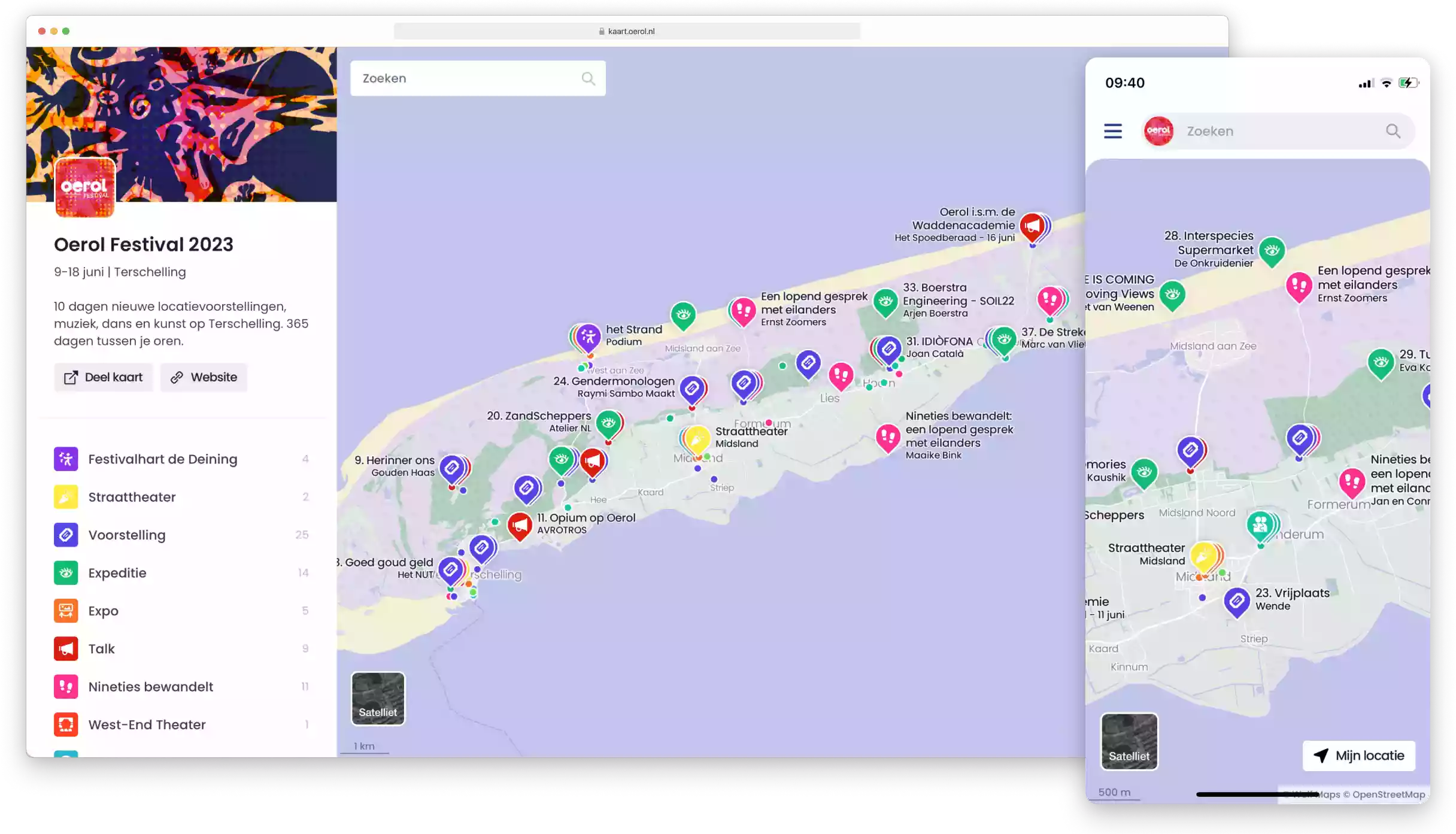
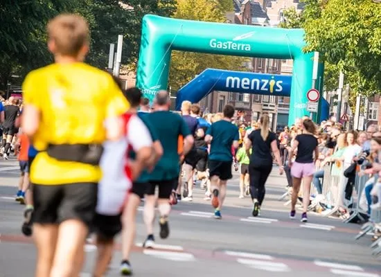
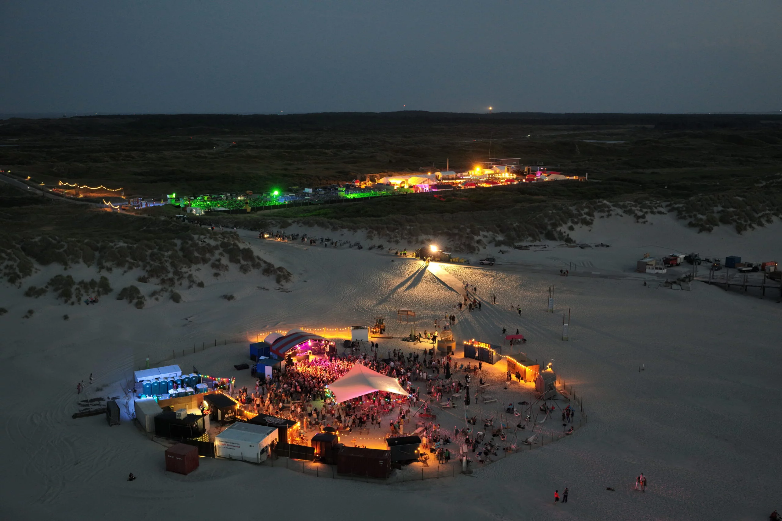
Events & FestivalsYour event or festival is a next-level experience with our interactive event map.
Nature Parks(Experience and let experience) and let our interactive map lend a hand to nature.
Public Space & ParticipationThe most beautiful plans unfold in places where people gather.
World ChangersFor sustainable and social places, projects, events and activities
- About
- Contact