Written by
Aljan Scholtens
on
20 June 2024
The benefits of an interactive map are endless. It’s the way to discover places and gain experiences. Adventure! We love using our own maps too. For example, our colleague Aljan enjoys photography and hiking in the mountains. And there’s plenty to see close to home as well. So he set off on a multi-day trek through Nationaal Park Drentsche Aa with Wolf Maps. Do you also want to become a real map maker? Experience the endless benefits for yourself? Aljan shares his experiences with you.
A quick recap: why an interactive map?
We love lists. All over the internet you find lists of the top 10 attractions and activities. From the most beautiful places and routes, even in Drenthe. Sometimes these tips are compiled into an image or infographic. But an interactive map adds a new dimension to sharing offerings and experiences: interaction. A complete and visually sleek picture that’s tailored to the needs of the visitor. The result? Plenty of attention for your destination that’s also really easy to maintain. So trust us, the interactive map is next-level area marketing. But okay, where do you start? Let’s dive right into the map.
How to become a master of your map
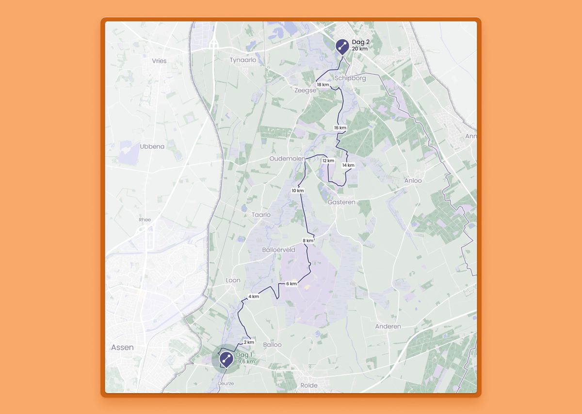
I regularly go on self-made multi-day hikes with a good friend. I usually keep these routes to myself. But since I’m building a fantastic tool that is perfect for this purpose, I decided to put the route into Wolf Maps.
I then created an account in the Wolf Maps studio with just a few clicks, added the logo, a background photo, and a short description. And then, mapping could begin!
After creating an account, you can quickly make a map that is fast and easy to use. Let’s take a closer look at how to become a master of your map, how to maintain control and take that next step in area marketing and communication with your target audience(s).
Your map deserves all the attention, right? Also, check out our five tips for a successful map.
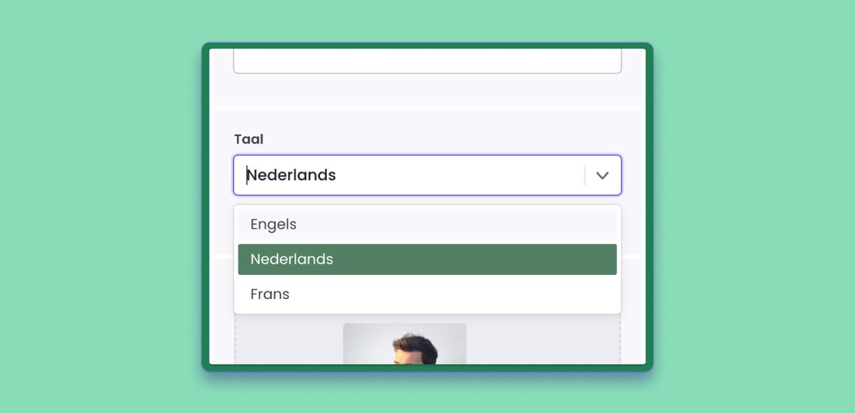
1. Set the right language
If you only target local visitors, you might choose a map in Dutch. But you can just as easily make your map available in English. Yes, when we said that our maps work everywhere, we truly meant everywhere (and for everyone who is proficient in English).
2. Outlining
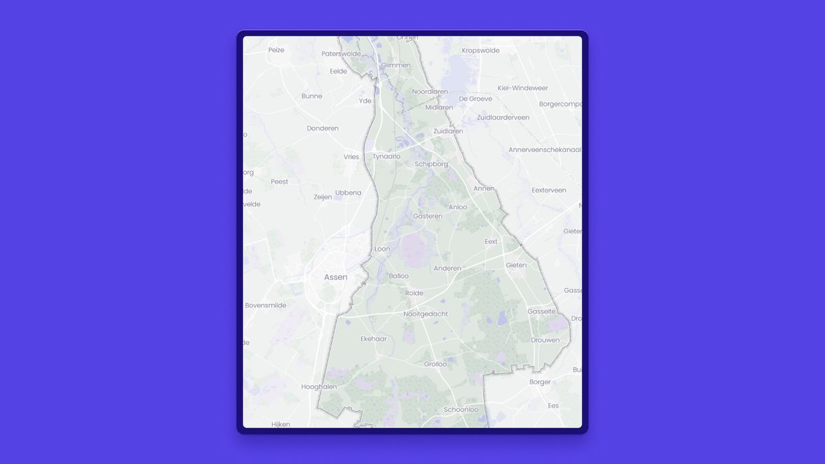
In the Drentse Aa example, it needed to be clear that it was about a defined area. For that, you use the outlining tool. You can upload a GeoJSON file via the settings. Stuck? Feel free to email us.
Categories and tags give visitors the ability to filter and focus on the map. We use colors and symbols for that. Just like I did for the interactive map of my multi-day hike, you can easily create your own set of categories.
Categories and tags essentially act as a blueprint for the rest of the map. A little tip: you can even select a specific category and copy just that URL to share with your visitors.
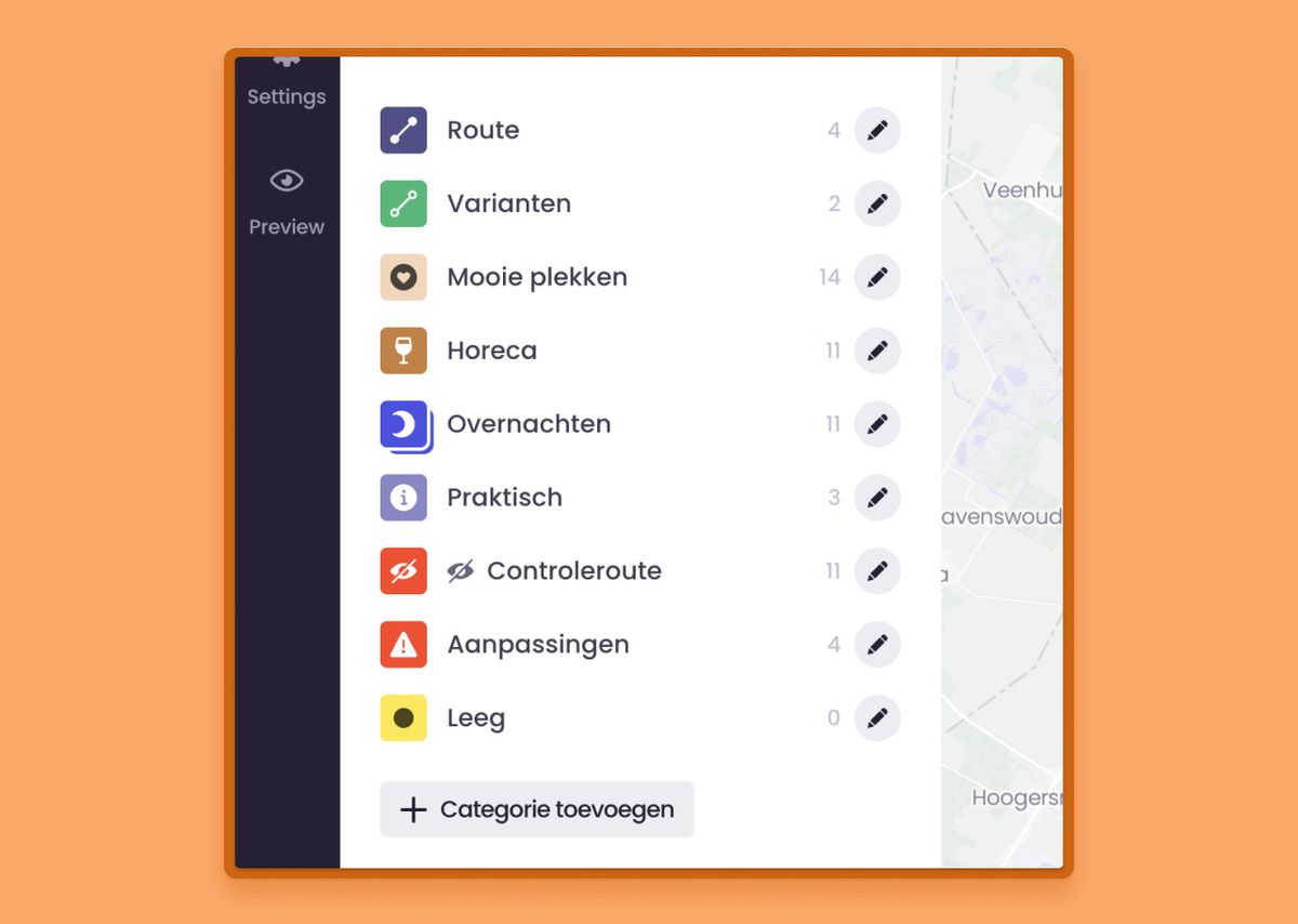 Categories and tags in Wolf Maps
4. Adding and prioritizing places
After all that hiking, you must get hungry, right Aljan? So we also want to know where the perfect picnic spot is or where you can grab a cup of coffee. These important places can be imported from an external file so that all your offerings are visible at once. Of course, you can also add places manually.
Want to give that one coffee shop extra attention? Then you can assign a priority (high or low) to the category. Alternatively, you can mark a place as ‘important’.
5. Text, video, and audio
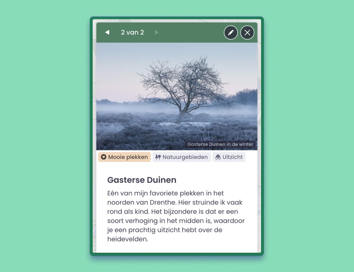
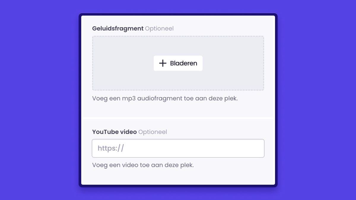
After you’ve added your places, you can enhance them with your own unique images, descriptions, and audio or video clips. A video of the park ranger explaining the breeding season or a video of the band performing at your festival is always a fun addition!
6. Walking routes
Let’s talk a bit more about the endless benefits of an interactive map from Wolf Maps. In addition to places, you can also add walking and cycling route, without turning the map into a chaotic mess. Thanks to the map, you can easily zoom in. And if you enable location services on your phone, you can use the map as a navigator while walking or cycling.
7. Aerial photos
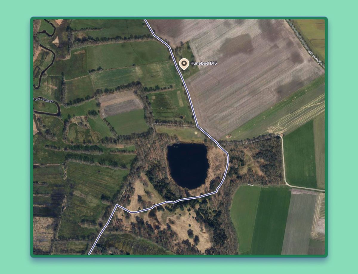
Do you want to map a rapidly changing environment (a new neighborhood, for example) or give your story more impact with real aerial photos instead of a flat map with outlines? Where you truly experience nature and can almost spot the wildlife? Recent aerial photography is available for our customers. In this blog, you’ll read all about aerial photos.
The finer points
I personally create several walking routes and maps. How cool is it that you can use your own technique for this? With Wolf Maps, anyone can be a map maker. Want to see with your own eyes how to apply all these tips to your own map? In this video, we explain all the finer points of mapping.
And onward!
As a map maker, after reading this blog you’re naturally ready for the next step. In our next blog, we share even more handy tips and features.
Would you like to brainstorm about the possibilities for your map? Then email aljan@wolfmaps.com.

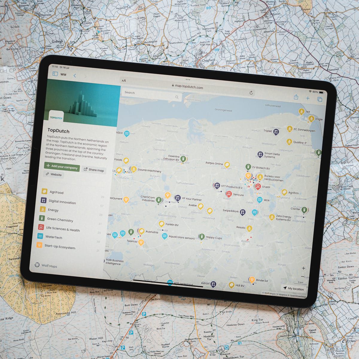
 Categories and tags in Wolf Maps