An interactive map is ideal for helping visitors explore a region. But what if crossing into the next region could be even easier? That question came from several municipalities in the Dutch Province of Drenthe.
Wolf Maps is a platform that lets organizations create interactive experience maps. Visitors explore routes, places and stories. Each region defines its own content and style, while everything looks good on any screen. It’s a digital version of the familiar printed maps, but with far more possibilities.
From individual maps to collaboration
Sometimes you want more than your own map: working with neighbouring regions, sharing routes or creating one map for a larger area. That is now happening in Drenthe: four subregions with twelve municipalities are combining their maps.
Where each region used to work independently with printed maps, these are now also digitally available through Wolf Maps. This way, the network of individual maps grows into a connected whole.
Year theme
The Drenthe regions have chosen Wolf Maps as their year theme. This means they work together on branding, map design, integration with the tourism database from Marketing Drenthe, distribution and support for local businesses. Throughout the year, they hold several sessions to shape this collaboratively.
Valerie Vermeire
In Drenthe we like to strengthen the connection between regions, because a tourist does not recognise municipal boundaries. That is why we chose Wolf Maps as our year theme, so we can take concrete steps to make it easier for both residents and visitors.
Tourism database
To keep the maps up to date, regions connect them to the tourism database of Marketing Drenthe
. With one click, they add locations and routes that stay up to date automatically. This makes the information reliable and saves managers a lot of time.
Unified style
Since each region already had its own map, visual consistency was important. Together they created a style guide describing all categories, colours and icons. This ensures the maps align with the visual identity of Drenthe.nl and are instantly recognisable as part of a single brand.
Connecting maps
Each region or municipality has its own map, but some also belong to a larger area, such as the Hondsrug. The five municipalities there have linked their maps so visitors can move smoothly from one to the next. A joint Hondsrug map has also been created.
Sharing the map(s)
A map is only valuable if people find it. That is why the Drenthe maps are shared through Drenthe.nl, local websites (such as Assen and Emmen) and via stands and stickers at tourist locations. This way, visitors discover the regions at every stage of their trip.
Toolkit for entrepreneurs
Entrepreneurs benefit as well. They can embed the regional map on their website or place a QR sticker at their location. This promotes both Drenthe and their own business. To make this easy, a toolkit has been developed that explains step by step how entrepreneurs can help spread the map.
Results
Collaboration and digital integration lead to clear advantages:
For visitors: an easy tool to explore the region, with up to date info and continuous routes across municipalities.
For regions: visual insight into their area and a shared identity that increases professionalism and recognisability, including direct collaboration with Marketing Drenthe.
For entrepreneurs: more visibility and simple promotion of their location without extra effort.
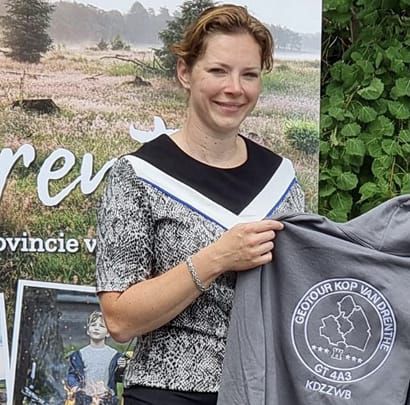
Jolanda Doornbos
Entrepreneurs in our region, the Kop van Drenthe, now have a clear tool to profile themselves and collectively put the region on the map. For guests, it’s an ideal way to discover the area.
The collaboration between regions and municipalities in Drenthe shows what becomes possible when everyone speaks the same map language. Curious how your region or themes can be connected? Get in touch via the contact page
.


 Valerie Vermeire

 Jolanda Doornbos

