Written by
Aljan Scholtens
on
12 November 2024
On November 5th, after weeks of preparation (read: breaking a sweat), our first Wolf Maps event finally took place. Our goal: to give something back to our customers, share knowledge, and learn from each other.
Tim kicked off the morning with a behind‑the‑scenes look in the Wolf Maps kitchen. Why do we do what we do? What is the story behind Wolf Maps? Why are we called Wolf Maps?
Then we handed the stage over to our customers, because who can better explain the added value of Wolf Maps than they can themselves?
Customer Experiences
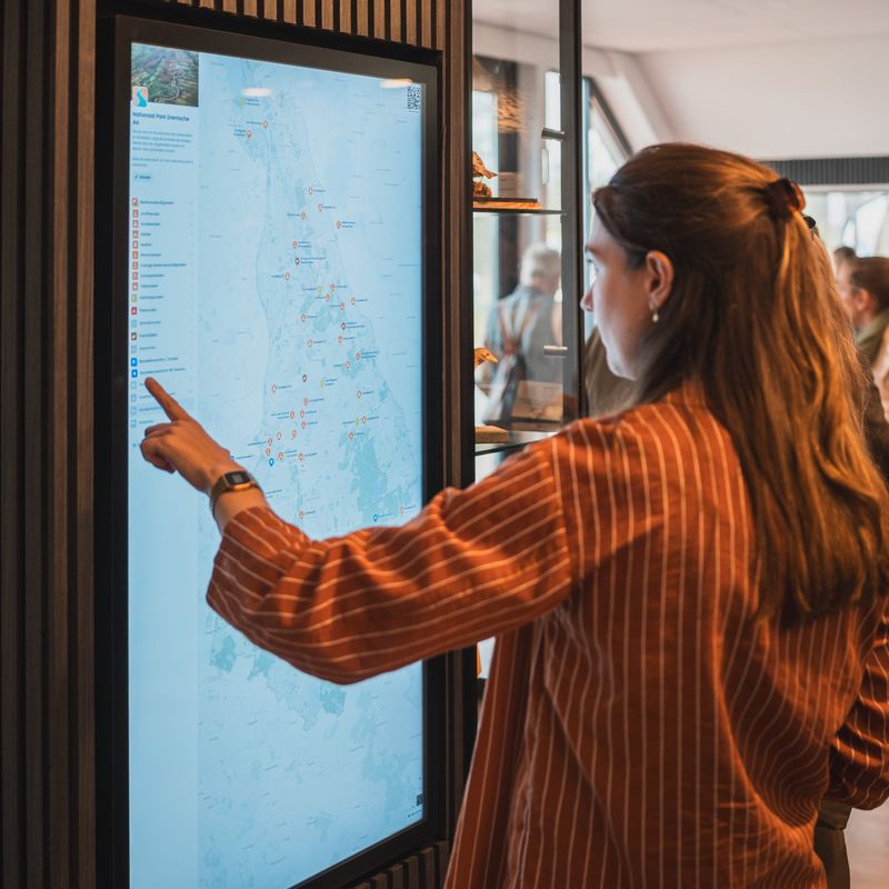
André Brasse from Nationaal Park Drentsche Aa showed us the developments of the new visitor center. He explained how Wolf Maps will play a connecting role in both the visitor center and the park.
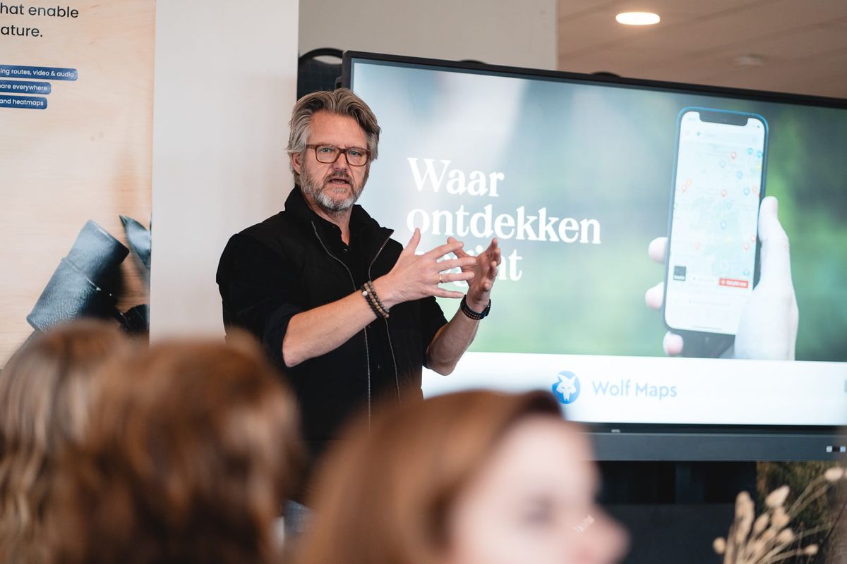 André Brasse from Nationaal Park Drentsche Aa
Marleen Godlieb from Ontdek Midden-Groningen explained how she used Wolf Maps for the hiking trails of ’t Roege Pad. She described the process from the initial setup to the final distribution of the map among hikers.
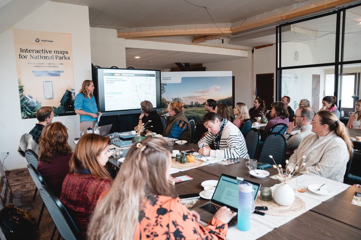 Marleen Godlieb on 't Roege Pad
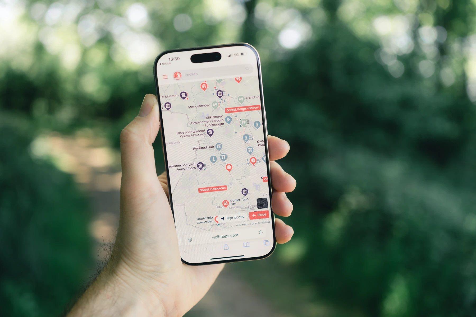
Valerie Vermeire from the Municipality of Aa en Hunze shared how Wolf Maps became the digital map behind the iconic wooden owls that mark tourist spots in the municipality. She also explained how Wolf Maps helps to connect with the tourist regions of the neighboring municipalities.
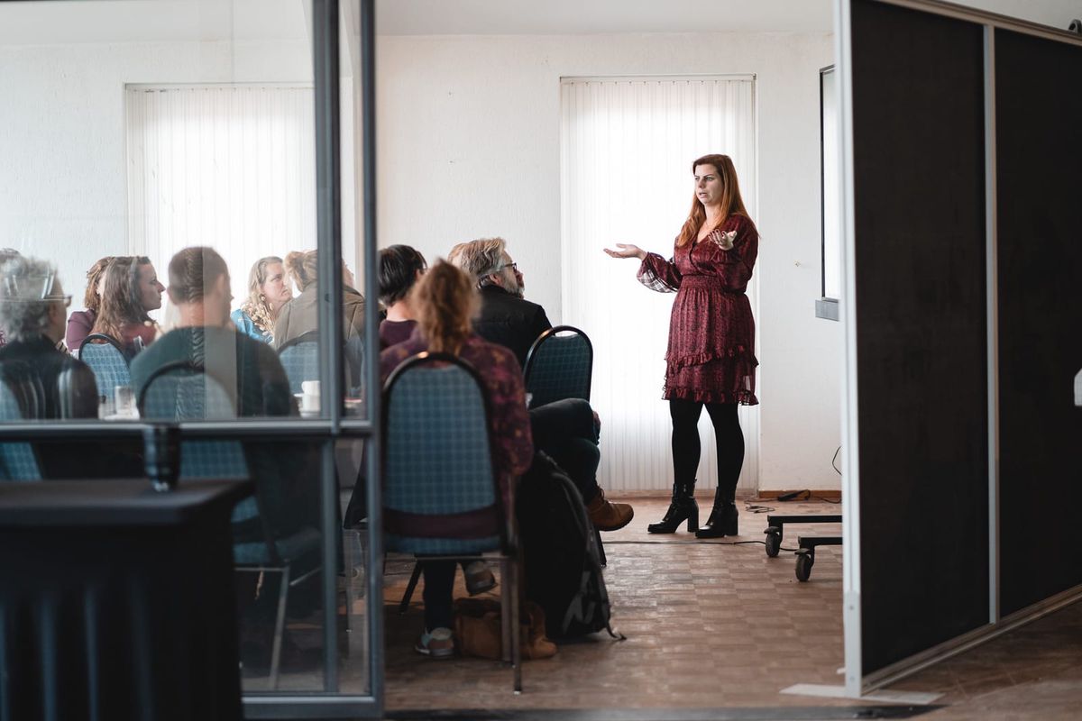 Valerie Vermeire from the Municipality of Aa en Hunze
New Features
During the second part, we delved deeper into the functionality of Wolf Maps. Aljan shared tips & tricks to give your maps that extra touch.
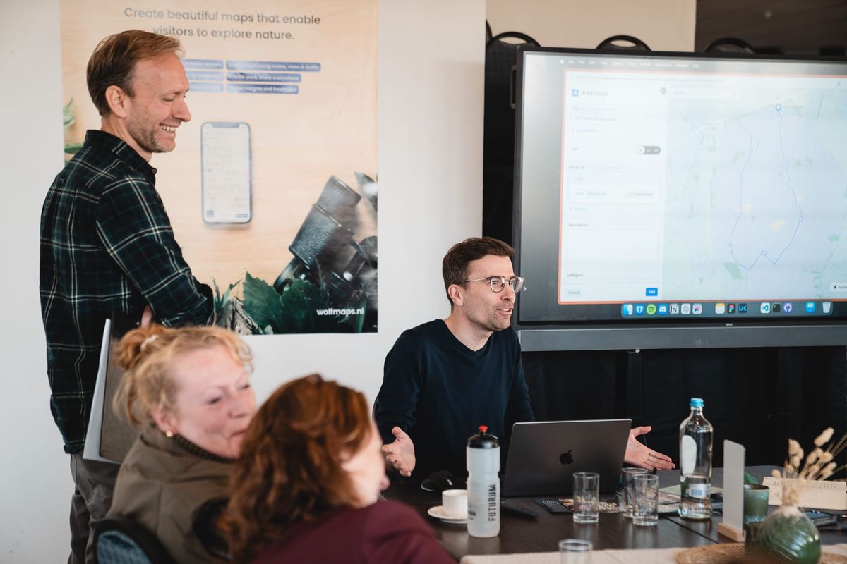 Aljan Speaking
Although we’re not Apple, a demonstration of new features was naturally a must. We presented two new capabilities.
From now on, map creators can view analytics for each map – something we are incredibly proud of. We also presented a preview of our route drawing tool. Soon, users will be able to draw routes that automatically follow existing paths.
We thought it was fantastic! Hopefully, the new tools and shared experiences will inspire new projects. If you attended, thank you very much! We look forward to the next edition.

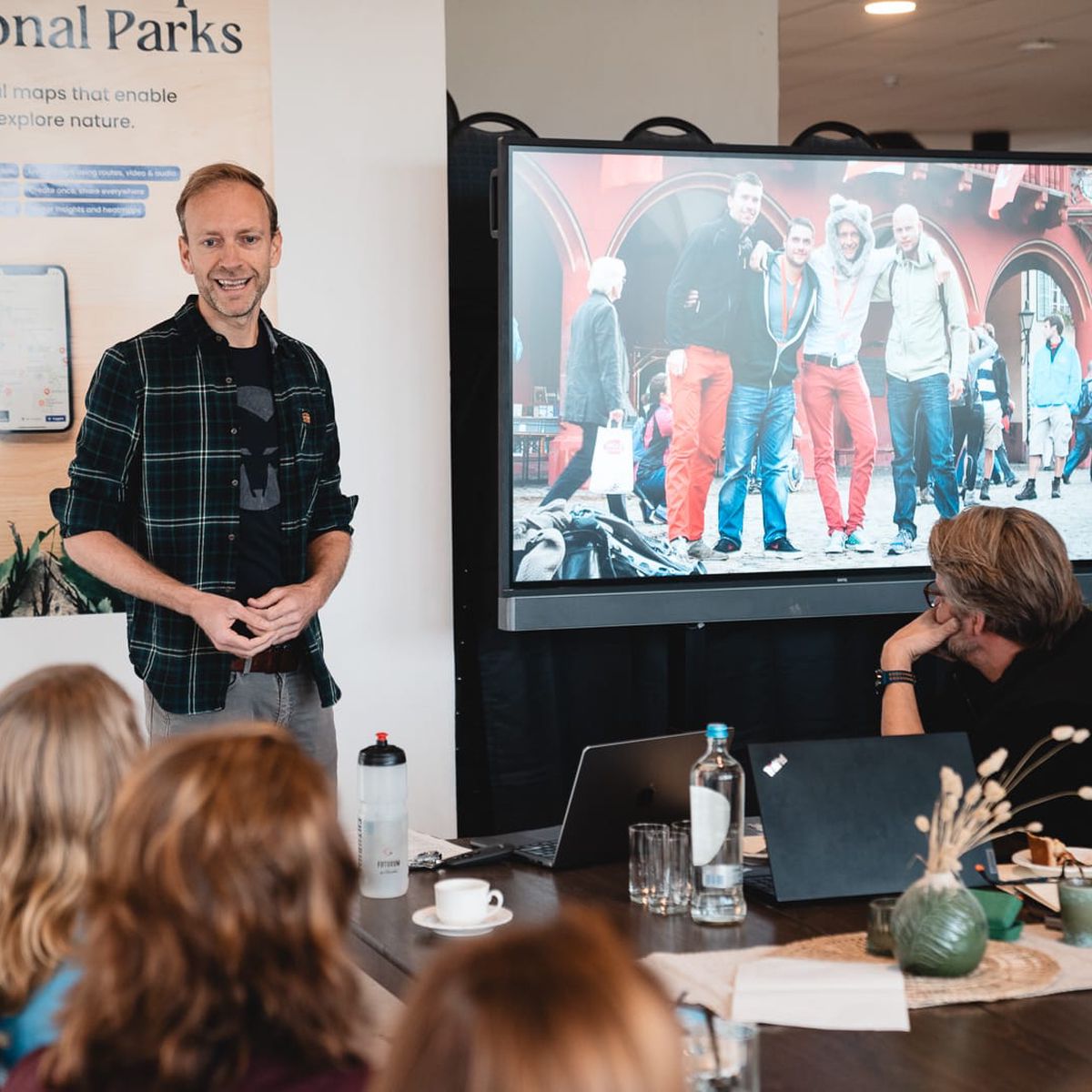
 André Brasse from Nationaal Park Drentsche Aa
 Marleen Godlieb on 't Roege Pad
 Valerie Vermeire from the Municipality of Aa en Hunze
 Aljan Speaking